Location
The Tolland Ranch sits just south of Eldora ski area, east of the Continental Divide and the Moffat Tunnel, only 10 minutes from Nederland, and is accessed year-round via the Tolland Road to the south and seasonally by forest access roads to the north.
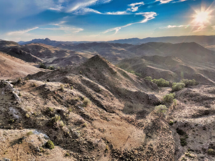
The property enjoys extraordinary, unencumbered views of the snow-capped James Peak and James Peak Wilderness. It rises from 8,000 feet in the riparian meadows to nearly 13,000 ft. at its highest point. Buckeye Mountain and Tennessee Mountain sit within the property’s boundaries along with the village of Tolland.
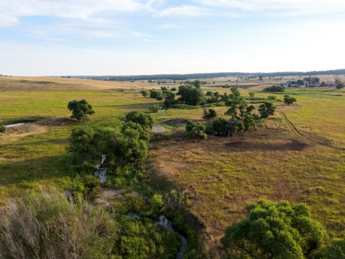
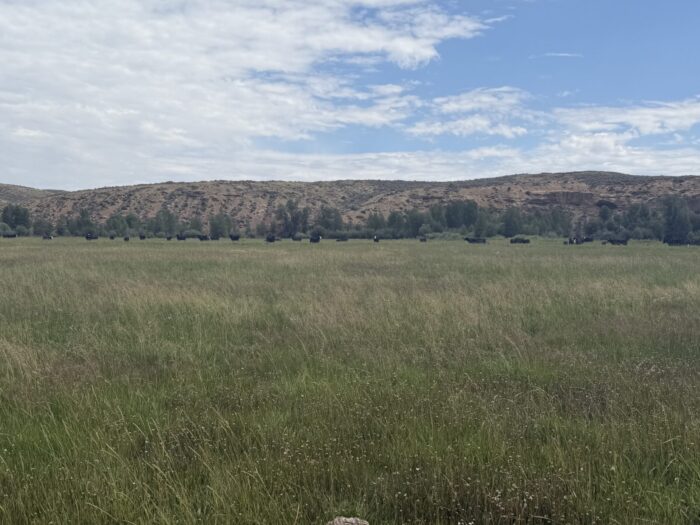
The ranch property is located in a high mountain, rural, and agricultural valley along the Peak-to-Peak Highway corridor with abundant wildlife, scenic mountain, and valley views, a myriad of outdoor recreational options, and unrivaled privacy and frontage along both sides of South Boulder Creek.
Locale
The property combines high alpine areas, mountainous riparian corridors, pine tree groves, rolling hills, grasslands, wetlands, and conifer forests. The property consists of two main parcels, the 1300-acre Lower Ranch along South Boulder Creek and the 2034-acre Upper Ranch to the north near Eldora Ski Area, which takes in most of Buckeye Mountain, ranging from 8,680 feet to 10,120 feet in elevation.
The southern portion of Tolland Ranch contains South Boulder Park, a broad montane parkland centered on South Boulder Creek.
The northern portion of the ranch is a mountainous upland centered on Buckeye Mountain and the west flank of Tennessee Mountain. For a better understanding of the upper portion of the ranch and its network of trails, click here.
The Property is located in the South Boulder Creek Watershed, its primary drainage. It drains from west to east and peaks in June. In addition to South Boulder Creek, Jenny Creek, Jenny Lind Gulch, and Black Canyon flow through different parts of the ranch.
Improvements
Multiple existing improvements are on the property, as well as four different homesites (D Dot, West Meadow, Milliron, Buckeye, Baltimore). While some are historic improvements, two have recently been updated, including Kit Carson and the Schoolhouse.
The property has internal and external fencing, especially along the public roads and railroad tracks.
History
This area of Boulder and Gilpin County is a part of Colorado’s mineral belt and was mined for gold and silver in the 1800s when Tolland was known as Mammoth Gulch. In 1893, Colorado’s former Attorney General, Charles Hansen Toll, purchased the land and left it to his widow Katherin Wolcott Toll who then renamed the area Tolland after her ancestral home in Tolland, England.
In the early twentieth century, Tolland was a popular summer resort town. It was home to an opera house, saloon, the Toll Inn (built in 1904), a dance pavilion, and a popular train stop on the “Moffat Line.”
A few historic buildings remain on the property today, including the newly renovated Schoolhouse (built in 1906), the renovated Kit Carson Cabin (built in 1907), and the Eastward and Westward Ho Cabins (built in 1915).
Climate
Average High: 52 Degrees
Average Low: 26 Degrees
Average Annual Precipitation: 25 in.
Average Annual Snowfall: 197 in.